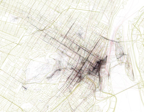

Geothink is the largest grant investigating the implications of increasing two-way exchanges of locational information between citizens and their city governments. That locational information can take the form of open data, crowdsourcing, citizen science or the geospatial web. Its researchers gain on-the ground experience and insight from practitioners, leading to research intended to have real impacts on city governance. It grounds their work in urban realities, leading to practical outputs like best practices and working papers as well as peer-reviewed articles.
“Geothink sprang from an idea that we’re in this period of huge technological change when it comes to our ability to communicate with cities as citizens, and cities’ ability to communicate with citizens,” said Sieber, who is jointly appointed in the Department of Geography and School of Environment.
Through research collaborations that have direct real-world applications, Geothink works to examine how technologies will shape the future of civic governance and participation. Find out more about Geothink on the grant’s Web site at geothink.ca.

Student Training
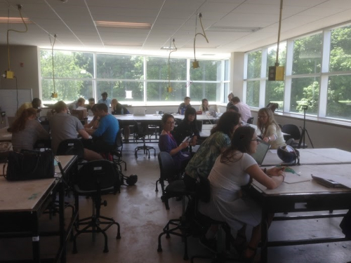
Each year Geothink convenes a Summer Institute to give students hands-on training on grant-related topics. Students tackle real-world problems put forward by our partners to apply new technologies to a variety of governance challenges.
This past summer, 30 students met to learn about civic crowdsourcing at the University of Waterloo in Waterloo, Ontario. After three days of instruction, in-depth case studies on crowdsourcing topics, and afternoon work sessions with institute professors, teams of students presented crowdsourcing strategies and apps that tackled a crowdsourcing challenge posed by the City of Ottawa.
The next summer institute will be hosted by Ryerson University from May 9 to 11, 2016 and will again take a hands-on training approach to teaching students about the value of open data. Interested students can find out more here: si.geothink.ca.

Geothink Research at McGill
While Geothink’s research takes place in partnerships that stretch across several different universities, McGill is home to several unique strands of research. These include:
Renée Sieber, along with several undergraduate students, has developed a citizen science application based on the zooniverse platform that encourages Montreal citizens to help complete the transcription of weather into a digital form. The project has needed to overcome a variety of data management issues to input more than 20,000 records spanning 80 years and 15 different ledger types.
Suthee Sangiambut, a master’s student in the Department of Geography with Sieber, is studying citizen-government interaction via civic open data apps and the data that flows through them. Through a series of case studies and interviews, his research will map the actors involved in app ecosystems and analyze developer and government perceptions of app users. This research aims to provide a critical view of the open government movement and open data release in Canada.
Matthew Tenney, a doctoral student in the Department of Geography with Sieber, is researching the future of public participation as Canadian cities increasingly look for ways to become “smart.” The rhetoric of the smart city promises to impart a machine-like efficiency to democracy via the automation of technology and big data analytics. Tenney argues that this automation constitutes a form of coded engagement that positions the citizens as a sensor who constantly emits raw data about their activities, interactions, and beliefs. His research aims to uncover how this user-generated content is algorithmically transformed into knowledge about citizen intent and how cities augment or even replace traditional civic engagement with this new data.