Access: Local CD
Available at the Geographic Information Centre Information desk. GEO REF G6910 2001 R6 CD-ROM
Access Requirements / Limits
Available to all users
Coverage and Frequency
15th Century to present. No updates available
Language
English Interface. Maps are in various languages
Description
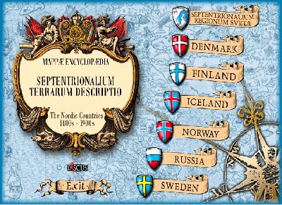
Historic maps of the Nordic Countries: Finland (Suomi), Denmark, Iceland, Norway, Russia (Northwestern) and Sweden on maps, XV-XX centuries. Map image colection displays maps from state libraries, private collections and historical depositories. Produced by the National Library of Russia in St. Petersburg. Maps cover the 15th to 20th centuries.
System Requirements
No installation of the CD is required.
User Guide / Search Tips
Possible to browse the maps directly from the from the CD
