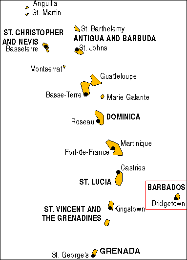
The Institute is situated on the west coast of Barbados (13° 11′ 31″ N, 59° 38′ 26″ W) about 13km north of Bridgetown, the capital. Many airlines maintain regular service to Barbados (Grantley Adams International Airport) including Air Canada, American Airlines, British Airways, Caribbean Airlines, Copa Airlines, JetBlue, LIAT, Virgin Atlantic, WestJet, several Caribbean-based airlines, and many charter airlines.
Field work based at Bellairs is seldom interrupted due to inclement weather. Barbados lies outside the principal hurricane zones and the climate is healthy and pleasant, tropical but tempered with trade winds. The annual temperature normally ranges between 24ºC and 30ºC, rarely falling below 20ºC or rising above 32ºC. More than 3,000 hours of sunshine are recorded annually.