Updated: Wed, 10/02/2024 - 13:45

From Saturday, Oct. 5 through Monday, Oct. 7, the Downtown and Macdonald Campuses will be open only to McGill students, employees and essential visitors. Many classes will be held online. Remote work required where possible. See Campus Public Safety website for details.


Du samedi 5 octobre au lundi 7 octobre, le campus du centre-ville et le campus Macdonald ne seront accessibles qu’aux étudiants et aux membres du personnel de l’Université McGill, ainsi qu’aux visiteurs essentiels. De nombreux cours auront lieu en ligne. Le personnel devra travailler à distance, si possible. Voir le site Web de la Direction de la protection et de la prévention pour plus de détails.

Black Sea GIS

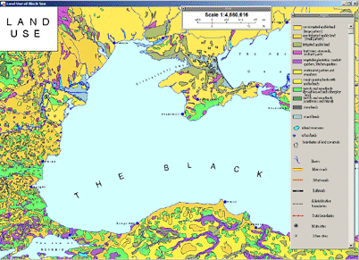
 Screen capture from Black Sea GIS

Access

Please ask GIC staff for access to the CD-ROM. Call number GEO REF G5740 2001 G7 CD-ROM. For GIS data in ArcView Shape format, biological data, and satellite imagery go to the Black Sea Environmental Internet Node.

Restrictions

Available to all users.

Coverage

1997

Description

CD-ROM contains a Geographic Information System (GIS) covering the Black Sea. The GIS has been created using existing data from a wide range of national and international data sources. It consists of seven thematic blocks representing different aspects of the Black Sea ecosystem. Some maps have a realtional database provided. The themes covered are: Geography, Geology, Meteorology, Physical Oceanography, Chemical Oceanography and Contamination, Biology, and Fisheries. Maps can be exported as bitmap images.

Producer's Web site

Environmental Internet Node

Questions? Ask us!  Chat • Email • Text • Call            Send feedback    Report a problem

Back to top